Special to the
Opelika Observer
Next time you’re driving through downtown, or on one of Opelika’s many backroads, take a second to look at the landscape around you. Did you ever think about what happens when rain falls on parking lots and roads? Or where that heavy rain drains to after a hard storm? When it comes to water quality and watersheds, there is an often inconspicuous story going on around us. Once you’ve learned how to see it, however, you can also easily see how to make a difference.
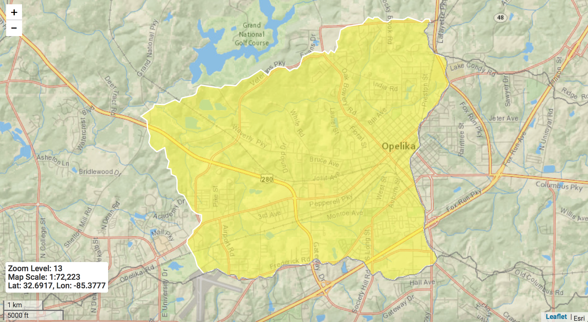
We all live in a watershed, and if you live in Opelika, you may actually live in the Pepperell Branch Watershed, which encompasses most of downtown Opelika.
A watershed is a geographically defined area of land through which rainwater drains by flowing across, through, or under the soil surface to a common low point, typically a stream, river, lake or ocean. That means that most of the water flowing over the City of Opelika is also draining to a central low point – that low point is the Pepperell Branch. Most of you are probably familiar with Pepperell – it’s a small waterbody that feeds into Saugahatchee Creek just downstream of where the city gets most of its drinking water supply. Did you know that the Pepperell Branch is almost seven miles long, and that the water from roughly 14 square miles in Opelika drains to Pepperell Branch? You may have seen an image of a watershed on some signs around town recently created by the Pepperell Branch Watershed Partnership. Next time, take a closer look to see the parts of a watershed and how they function.
